Master BESS site grading design with this expert guide. Learn to optimize earthwork, drainage, and container layouts for safe, efficient battery energy storage.
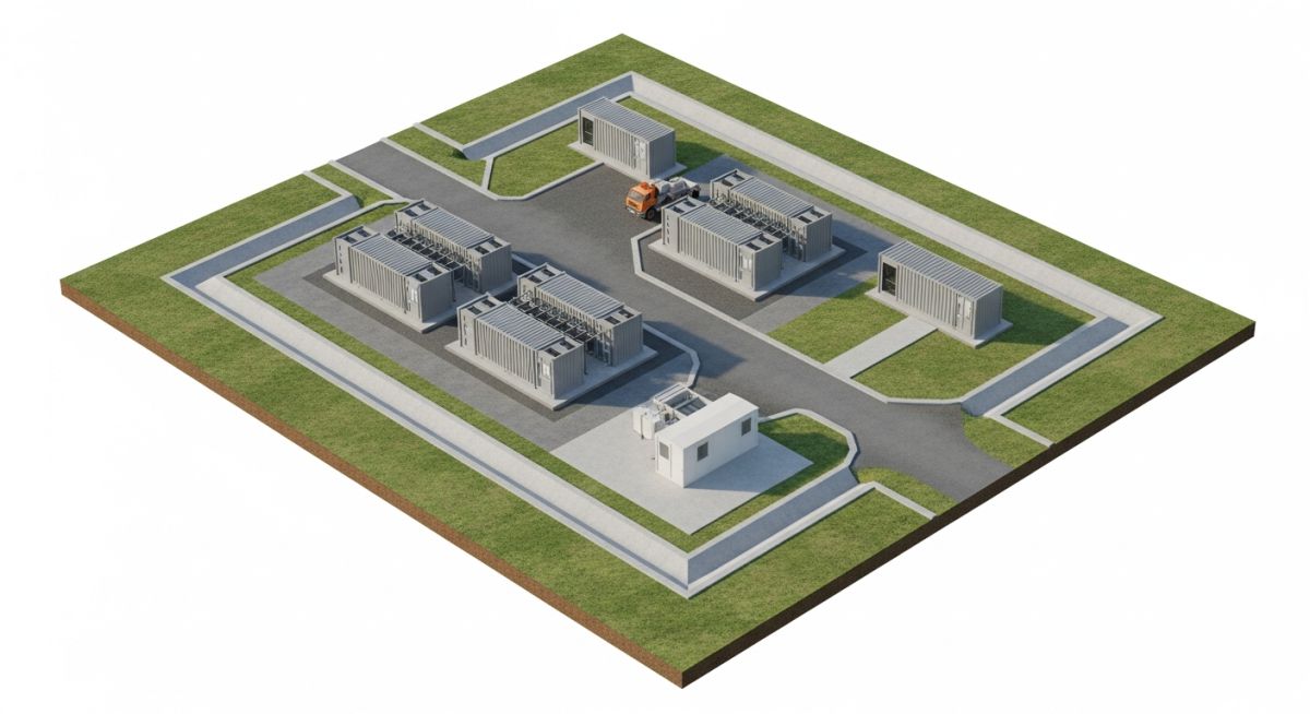
Master BESS site grading design with this expert guide. Learn to optimize earthwork, drainage, and container layouts for safe, efficient battery energy storage.
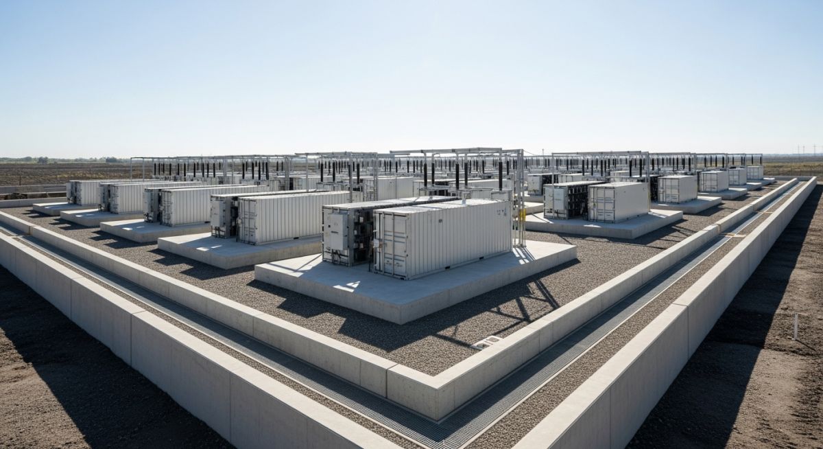
Master Flood Protection for BESS Facilities with this guide on site elevation, bunding, and stormwater management to ensure long-term battery safety.
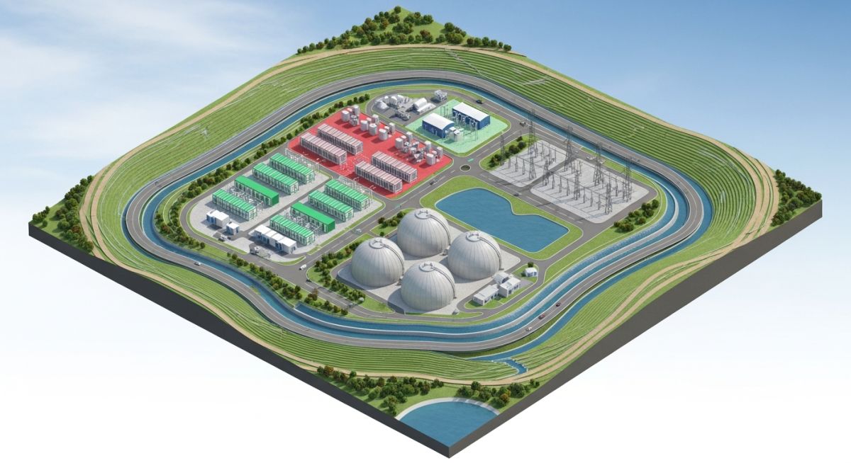
Master Site Grading Design for green hydrogen plants. Learn to optimize drainage, utility corridors, and flood protection for safe, efficient facility layouts.
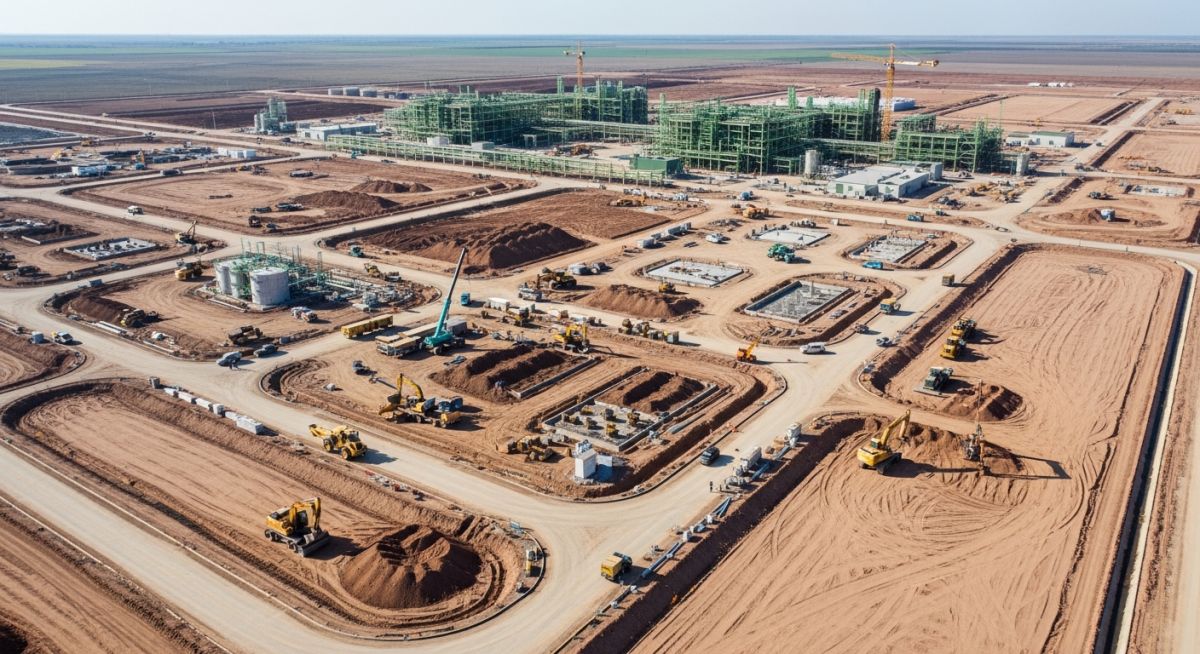
Master Earthworks for Green Hydrogen Plants with this guide on site grading, drainage integration, and cut-and-fill optimization for industrial safety.
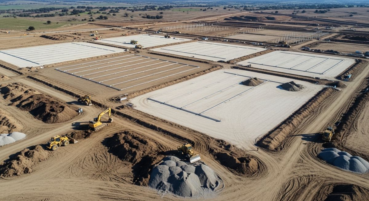
Master Earthwork Optimization for Solar Farms to reduce grading costs. Learn cut-and-fill balancing, Civil 3D techniques, and drainage integration strategies.
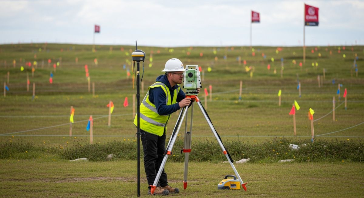
Master Topographical Surveys for Data Centre Projects. Learn accuracy standards, utility mapping, and flood risk analysis to ensure site development success.
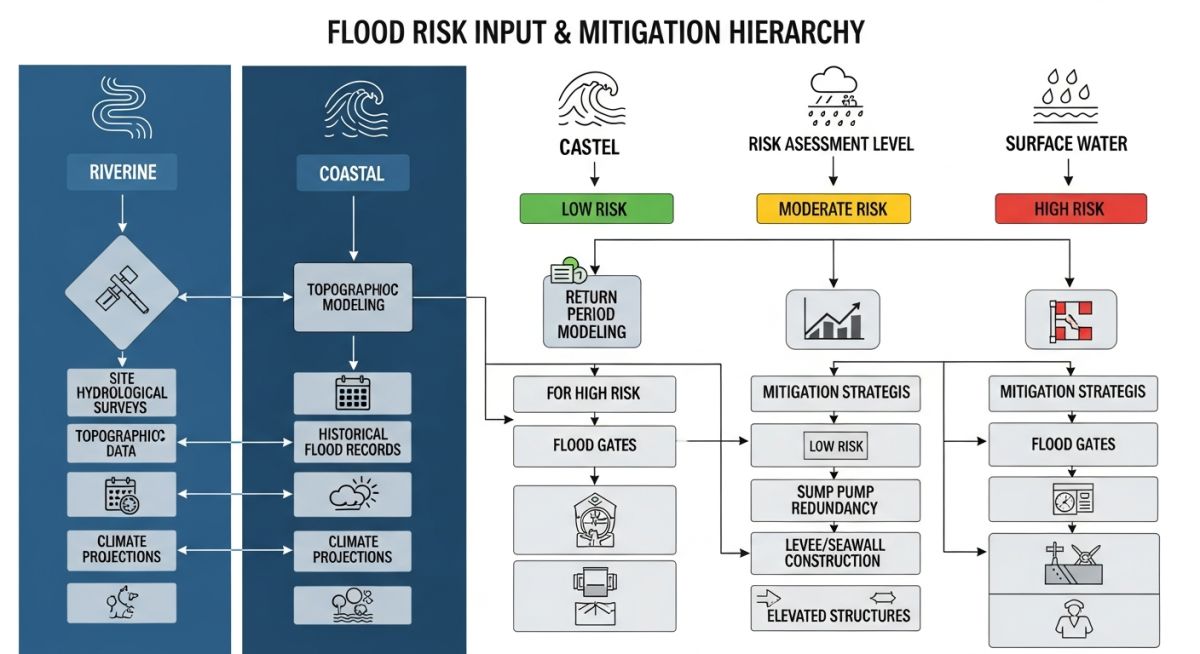
Master Flood Risk Assessment for Data Centres. Learn to calculate return periods, mitigate climate impacts, and protect critical infrastructure assets.
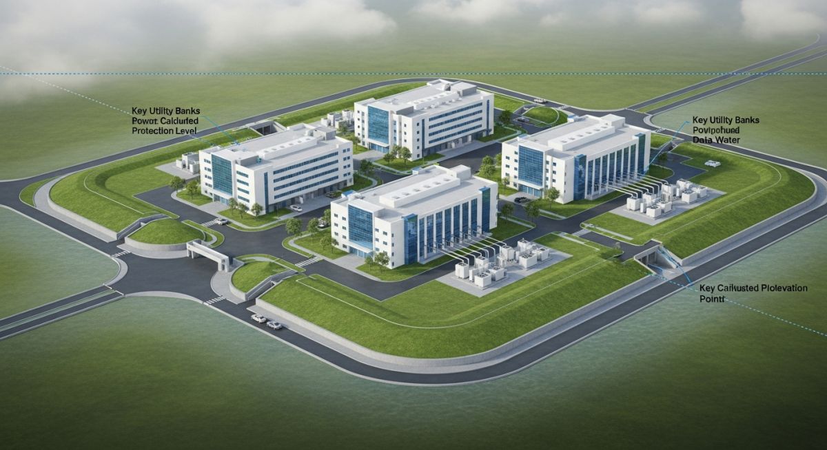
Master FPL Selection for Data Centres. Learn to mitigate flood risks, optimize site elevations, and ensure uptime for mission-critical facilities.
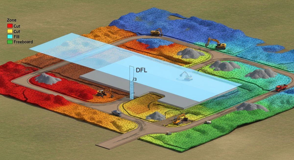
Master the workflow for Establishing FPL and calculating earthworks. Learn to integrate DTM data, flood levels, and freeboard for optimized site grading.
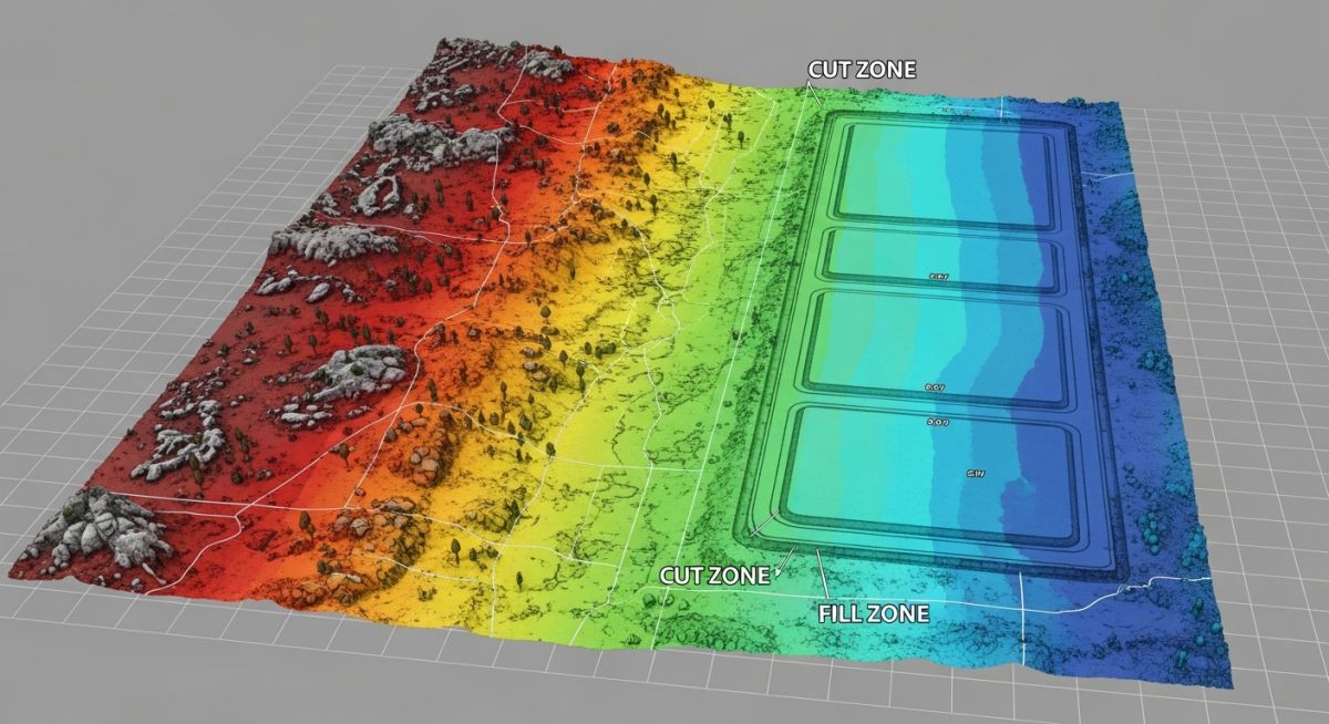
Master Cut and Fill Optimization with these 8 engineering studies. Reduce earthwork costs and improve site stability using proven geotechnical and hydrological methods.
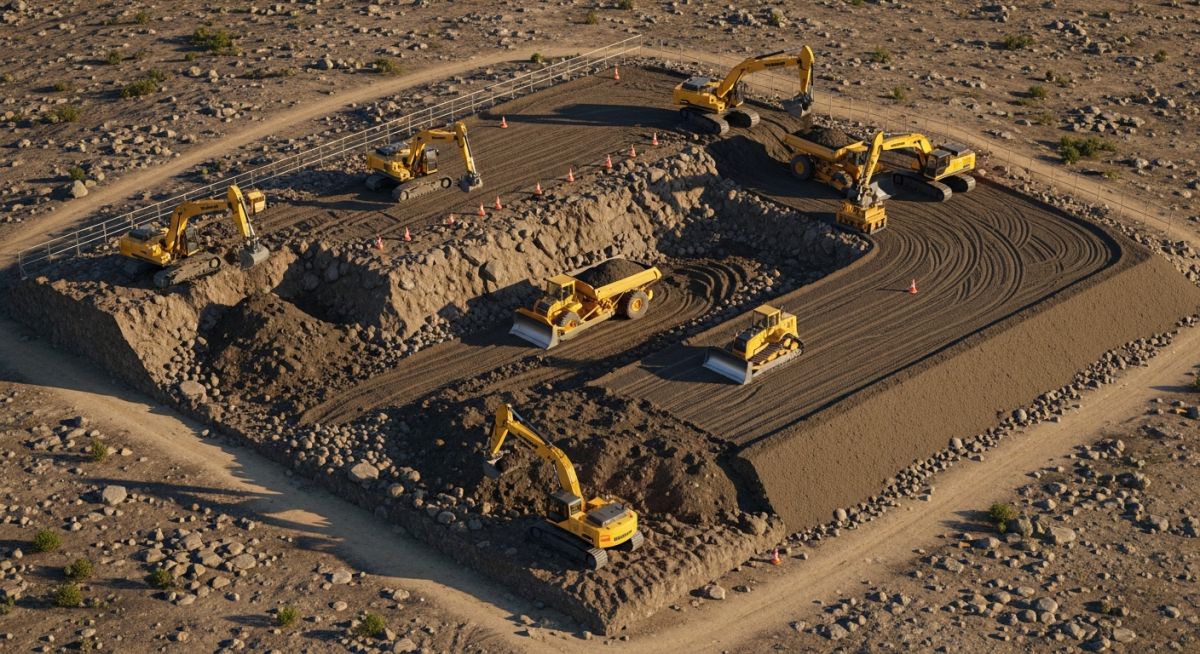
Master the calculation of Cut and Fill Quantities for industrial projects. Learn how terrain, drainage, and geotechnical factors impact your earthwork budget.
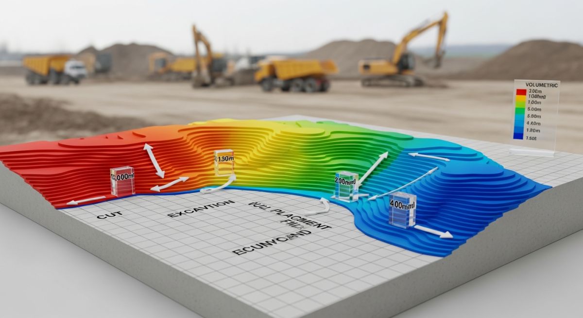
Master Cut and Fill Quantities for civil projects. Learn how to optimize earthwork volumes, reduce site costs, and manage environmental impacts effectively.