Topographic Survey Mastery: From Field Essentials to Engineering Design Basis
About Course
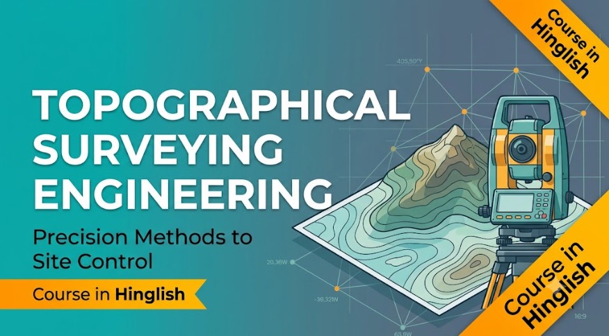
Every engineering project — whether it’s a solar plant, a highway, or a factory foundation — begins with an accurate picture of the land. Topographical surveying is the discipline that captures that picture, and this course walks you through the complete process: from basic surveying essentials to precision methodologies, technical site control workflows, and finally, how survey data feeds into engineering platform design decisions.
The course starts with the fundamentals of topographical surveying — what it is, why it matters, and the core techniques involved. From there, you’ll move into precision surveying methodologies, understanding how modern surveying achieves the accuracy demanded by engineering projects. You’ll then learn how technical site control workflows are established and maintained on real project sites, ensuring that every measurement ties back to a reliable reference framework.
The course also connects surveying to geotechnical investigation — covering how in-situ geotechnical investigations are planned and conducted alongside survey work — before concluding with how all this data comes together to form the engineering platform design basis for a project.
The course is delivered in Hinglish (Hindi + English), so core technical terminology — topographic survey, site control, geotechnical investigation, engineering platform design basis — stays in English exactly as used in real survey reports and site documentation, while explanations are delivered in conversational Hindi for easier understanding.
By the end of this course, you’ll be able to understand topographical survey methodology, appreciate how site control is technically managed, and see how survey and geotechnical data together shape the engineering design basis of a project.
Course Content
Topographical Survey Fundamentals
-
TS00 Introduction to Topographical Surveying
12:00 -
Topographical Surveying Essentials
22:00 -
Precision Surveying Methodologies
24:00
Site Control & Engineering Design Integration
Earn a certificate
Add this certificate to your resume to demonstrate your skills & increase your chances of getting noticed.
Student Ratings & Reviews
