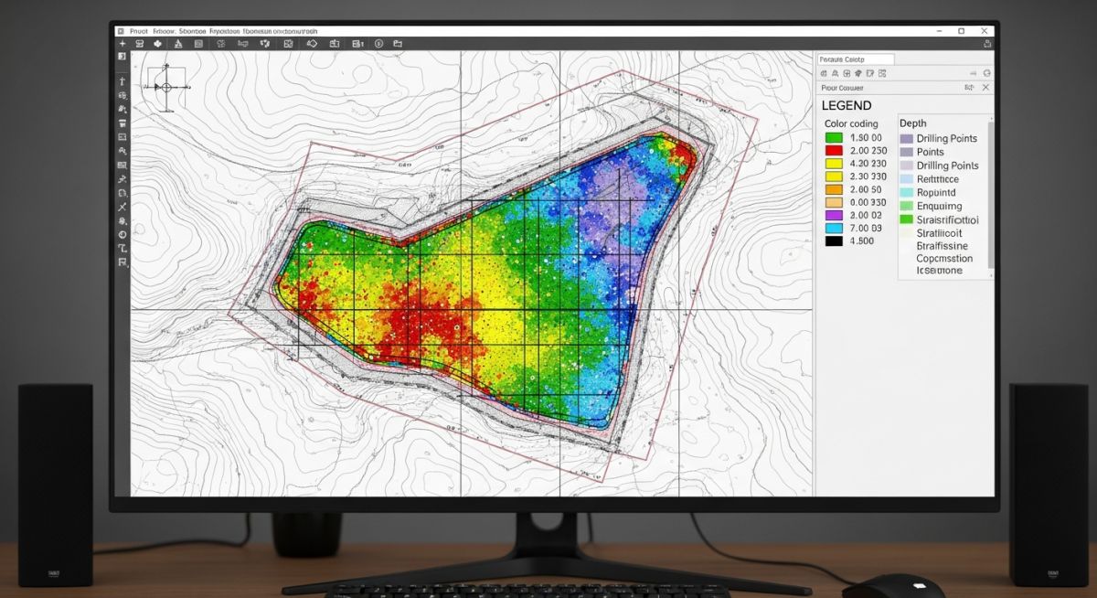
How to Decide the Number and Location of Boreholes
In my two decades of field experience, I have seen projects suffer catastrophic delays simply because the initial subsurface investigation was poorly planned. Deciding the number and location of boreholes is not merely a box-ticking exercise; it is the foundation of your entire risk management strategy. If you underestimate the soil variability, you are essentially flying blind when it comes to settlement analysis and bearing capacity calculations.
I approach every site by first analyzing the geological history and the proposed structural footprint. A uniform site with predictable strata requires a vastly different density of investigation compared to a brownfield site with complex fill or karst features. This guide breaks down the technical logic required to optimize your drilling program, ensuring you meet regulatory requirements while keeping your budget intact.
Key Takeaways for Geotechnical Planning
- Prioritize high-load areas for deeper, more frequent sampling.
- Use geophysical surveys to bridge the gaps between sparse borehole locations.
- Adjust borehole density based on the Coefficient of Variation (COV) of soil properties.
- Always account for the “Zone of Influence” of your foundation system.
Technical Analysis of Borehole Quantity and Location
Geotechnical Investigation Strategy: The determination of borehole quantity and location relies on the integration of structural load requirements, site-specific geological complexity, and the acceptable level of geotechnical risk as defined by Eurocode 7.
When I design an investigation program, I start by calculating the “Zone of Influence” for the primary structural elements. For a mat foundation, the depth of the borehole must extend at least 1.5 to 2 times the width of the foundation to capture the stress bulb where settlement is most critical. If the soil profile shows high variability, I increase the frequency of boreholes to reduce the uncertainty in the mean value of soil parameters like the undrained shear strength (Cu) or the angle of internal friction (phi).
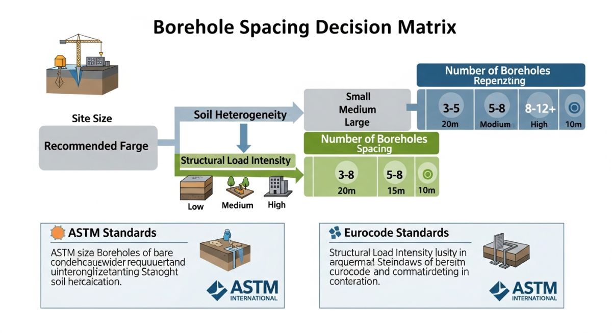
The mathematical approach involves assessing the spatial correlation length of the soil. If the soil is highly heterogeneous, the distance between boreholes must be smaller than the correlation length to ensure that the interpolated data remains statistically significant. I often utilize the following formulaic approach for initial spacing:
- Define the site area (A) in square meters.
- Categorize the site complexity (Low, Medium, High) based on preliminary geological maps.
- Apply the density factor (D) where D = 1/spacing squared.
- Calculate the total number of boreholes (N) as N = A * D.
Field Warning: The Hidden Risk of Sparse Sampling
Never rely on a grid-based approach alone. In my experience, a rigid grid often misses localized anomalies like buried channels, soft pockets, or boulders. Always supplement your grid with targeted boreholes at the corners of heavy equipment pads or critical structural columns. Ignoring these “hot spots” is the leading cause of differential settlement claims during the construction phase.
For high-rise structures, I mandate that at least 50% of the boreholes reach the competent bearing stratum, even if it requires drilling through 30 meters of overburden. The cost of an extra borehole is negligible compared to the cost of a foundation redesign or a structural failure caused by an undetected weak layer. Always reference ASCE guidelines for site-specific seismic hazard analysis, which may require deeper boreholes to determine the shear wave velocity (Vs30).
Strategic Investigation Trade-offs: The selection of borehole quantity and location involves balancing the immediate capital expenditure of the drilling program against the long-term risk of structural failure or foundation over-design.
Advantages of High-Density Investigation
- Reduces the factor of safety required for foundation design, leading to concrete and steel savings.
- Minimizes the probability of encountering unforeseen subsurface conditions during excavation.
- Provides a robust dataset for complex numerical modeling and finite element analysis.
- Enhances the accuracy of dewatering and shoring system designs.
Disadvantages of Excessive Borehole Programs
- Significant upfront cost increase that may impact project feasibility in early stages.
- Potential for site congestion, especially on active industrial brownfield sites.
- Increased environmental impact due to drilling fluid disposal and site disturbance.
- Diminishing returns on data quality once the soil profile is statistically well-defined.
Geotechnical Investigation Deployment: The application of borehole planning varies significantly across sectors, requiring tailored approaches to address specific structural loads and environmental sensitivities.
High-Rise Commercial Development
For skyscrapers, the borehole program must focus on deep, high-capacity pile foundations. I prioritize boreholes at the core and perimeter columns to map the depth to bedrock and assess the skin friction potential of the intermediate soil layers.
Linear Infrastructure and Pipelines
When planning for long-distance pipelines, I utilize a staggered borehole approach combined with continuous electrical resistivity tomography. This allows us to identify changes in soil corrosivity and potential liquefaction zones without drilling every 50 meters.
Industrial Plant Expansion
In brownfield industrial sites, the primary challenge is mapping existing underground utilities and contaminated fill. I recommend a dense grid of shallow boreholes to characterize the fill material and identify potential environmental remediation requirements before foundation design begins.
Offshore Wind Farm Foundations
Offshore investigations require specialized marine drilling rigs and CPT (Cone Penetration Testing) to assess the cyclic loading capacity of the seabed. The borehole location must align with the turbine layout to account for the high overturning moments and lateral soil resistance.
Determining the appropriate density of subsurface exploration requires a systematic approach that balances project risk against budgetary constraints. In my experience, engineers often rely on established grid patterns, but these must be adjusted based on the geological complexity of the site. The following table outlines typical spacing requirements derived from international best practices, including ASTM D420 and ISO 22475 guidelines.
These values serve as a baseline for preliminary design phases. For high-rise structures or critical infrastructure, the spacing is often reduced significantly to capture localized soil anomalies that could lead to differential settlement. Always ensure that the final borehole layout is verified by a licensed geotechnical engineer who understands the specific regional soil profile and the structural load requirements of the proposed facility.
| Project Type | Typical Spacing (m) | Min. Boreholes |
|---|---|---|
| Multi-story Building | 15 – 30 | 3 |
| Industrial Plant | 20 – 50 | 5 |
| Linear Infrastructure | 100 – 500 | Per km |
| Residential Housing | 30 – 60 | 2 |
The following matrix categorizes the critical technical entities involved in planning borehole quantity and location. By mapping these parameters against industry-standard codes, we ensure that the investigation program remains defensible during regulatory audits and structural peer reviews. Each entity represents a specific variable that influences the final geotechnical report’s reliability.
Understanding these relationships is vital for project managers who must justify the cost of additional drilling. When soil variability is high, the “Investigation Density” parameter must be prioritized over “Cost Efficiency” to mitigate the risk of foundation failure. Use this matrix as a reference during the initial site investigation planning phase to align your team with global engineering standards.
| Entity | Standard | Primary Impact |
|---|---|---|
| SPT N-Value | ASTM D1586 | Soil Density/Strength |
| CPT Sounding | ASTM D5778 | Stratigraphy Continuity |
| Borehole Depth | Eurocode 7 | Stress Bulb Coverage |
Before mobilizing drilling equipment to the site, a rigorous verification process is required to ensure that the planned borehole quantity and location are sufficient to capture the site’s geotechnical profile. In my experience, skipping these verification steps often leads to “change orders” during the foundation construction phase, which are significantly more expensive than additional drilling.
- Review Historical Data: Analyze existing borehole logs from adjacent properties to identify potential soil anomalies.
- Topographic Assessment: Confirm that the proposed borehole locations are accessible to the drill rig and account for site grading.
- Utility Clearance: Ensure all underground utilities are marked and cleared per local safety regulations (e.g., OSHA).
- Structural Load Mapping: Verify that borehole locations align with the footprint of the heaviest structural columns or shear walls.
- Groundwater Monitoring: Confirm that at least one borehole is equipped for long-term piezometer installation if the water table is high.
Once the checklist is complete, document the findings in a formal Site Investigation Plan. This document serves as the primary reference for the field crew and provides the necessary justification for the chosen borehole density. If the site exhibits high variability, such as karst topography or reclaimed land, increase the frequency of testing points beyond the standard grid to ensure structural integrity.
Field Case Study: Real-World Application
The Problem: Inadequate Borehole Density in Alluvial Deposits
- Initial investigation used a wide 50-meter grid, missing a localized lens of soft organic clay.
- The structural design assumed uniform bearing capacity across the entire building footprint.
- Differential settlement occurred during the initial loading phase, causing cracks in the foundation slab.
- Lack of continuous stratigraphic data prevented the identification of the soft layer during the design phase.
The Outcome: Remediation and Revised Investigation Protocol
- Implemented a supplemental investigation program with 10-meter spacing in the affected zone.
- Successfully identified the extent of the soft clay lens, allowing for targeted soil stabilization.
- Revised the site investigation protocol to mandate closer spacing in alluvial or heterogeneous soil deposits.
- Achieved structural stability through deep foundation underpinning, preventing further settlement.
The recommendation for future projects is to adopt a “risk-based” approach to borehole quantity and location. If the preliminary site walkover or historical data suggests high soil variability, do not adhere to minimum grid spacing. Instead, increase the density of boreholes in areas where the structural load is concentrated or where the soil profile appears inconsistent.
Frequently Asked Engineering Questions
How does soil variability dictate borehole quantity?
Soil variability is the primary driver for increasing the number of boreholes beyond the minimum code requirements. When a site exhibits high geological complexity, such as interbedded layers of sand and clay, the risk of missing a critical weak layer increases significantly.
- High variability requires a tighter grid to ensure stratigraphic continuity.
- Use CPT soundings between boreholes to interpolate soil properties effectively.
- Consult ASTM D420 for guidance on adjusting density based on site heterogeneity.
What is the minimum depth for a borehole?
The depth of a borehole is determined by the “stress bulb” of the foundation, which is the zone of soil significantly affected by the structural load. A common rule of thumb is to extend the borehole to a depth where the vertical stress increase is less than 10 percent of the applied foundation pressure.
- For shallow foundations, drill to at least 1.5 to 2 times the width of the footing.
- For deep foundations, ensure the borehole penetrates at least 5 meters into competent bearing strata.
- Always verify that the depth is sufficient to identify potential liquefaction zones in seismic areas.
Can I use CPT instead of boreholes?
Cone Penetration Testing (CPT) is an excellent tool for site investigation, but it should rarely replace boreholes entirely. While CPT provides continuous data on soil strength and stratigraphy, it does not allow for the collection of physical soil samples for laboratory testing.
- Use a combination of boreholes and CPT to optimize the investigation program.
- Boreholes are necessary for classification, moisture content, and shear strength testing.
- CPT is ideal for mapping the lateral extent of soil layers between boreholes.
How do I handle site access constraints?
Site access constraints, such as existing structures or steep terrain, often force engineers to deviate from an ideal grid layout. When this happens, the priority is to place boreholes as close as possible to the critical structural elements while maintaining a representative coverage of the site.
- Utilize portable or track-mounted drill rigs for restricted access areas.
- Document the deviation from the planned grid in the final geotechnical report.
- Increase the frequency of testing in accessible areas to compensate for the lack of data in restricted zones.
What if the soil is uniform?
Even when a site appears uniform, a minimum number of boreholes is still required to confirm the consistency of the soil profile. Never assume uniformity based on surface observations alone, as subsurface conditions can vary significantly over short distances.
- Follow the minimum borehole count specified in your local building code.
- Use the initial boreholes to establish a baseline for the site’s bearing capacity.
- If the first three boreholes show identical results, you may be justified in reducing the density for the remainder of the site.
Are there international standards for borehole spacing?
Yes, several international standards provide guidelines for borehole spacing, including ASTM D420 and ISO 22475. These standards emphasize that the investigation program must be tailored to the specific project requirements and the geological complexity of the site.
- Eurocode 7 provides a comprehensive framework for geotechnical design and investigation.
- Always check local building codes, as they may have more stringent requirements than international standards.
- The goal of these standards is to ensure that the geotechnical risk is managed appropriately throughout the project lifecycle.
Complete Course on
Piping Engineering
Check Now
Key Features
- 125+ Hours Content
- 500+ Recorded Lectures
- 20+ Years Exp.
- Lifetime Access
Coverage
- Codes & Standards
- Layouts & Design
- Material Eng.
- Stress Analysis

📚 Recommended Resources: Borehole
Read these Guides
- 📄 How to Read and Interpret Geotechnical Investigation Reports for Engineers
- 📄 Essential Geotechnical Investigation Terminology for Structural Foundation Design Success
- 📄 Essential Survey Instruments Used in Geotechnical Investigations for Site Analysis
- 📄 Preparing a Comprehensive RFP for Geotechnical Investigations: Expert Guide