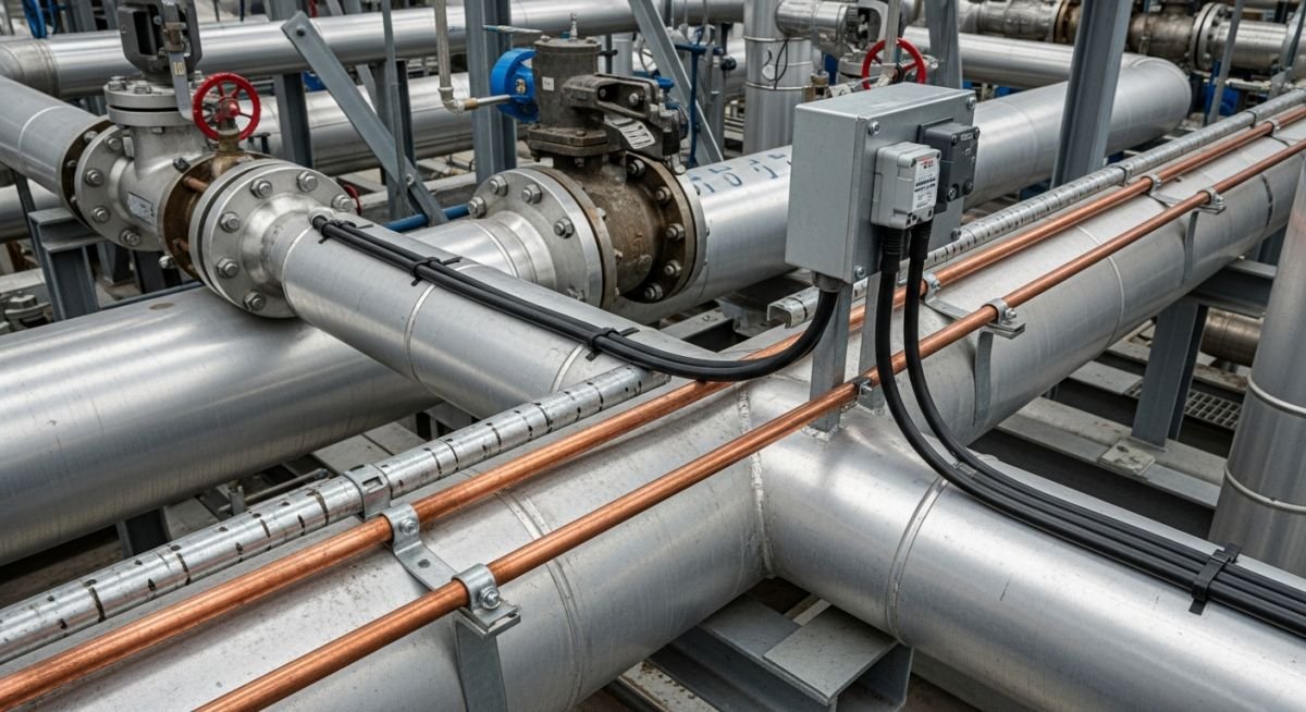
Master Heat Tracing selection. Compare steam vs electric tracing for process temperature maintenance, energy efficiency, and installation costs in industrial piping.
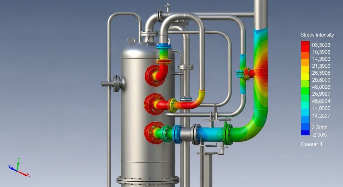
Master Stress Analysis of Vertical Reboiler Piping using Caesar II. Learn nozzle load limits, thermal expansion, and ASME B31.3 compliance for safe design.
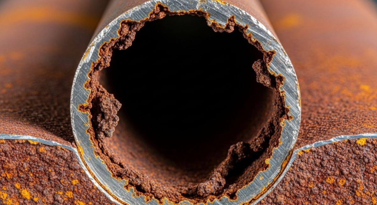
Master the primary Forms of Corrosion affecting industrial piping. Learn to identify, mitigate, and prevent material degradation using ASME and NACE standards.
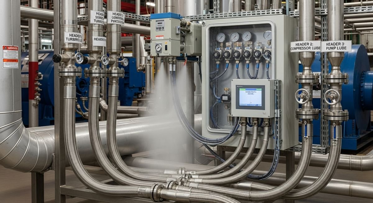
Master Oil Mist Lubrication System design for rotating equipment. Learn reliability standards, pressure settings, and maintenance protocols for industrial plant longevity.
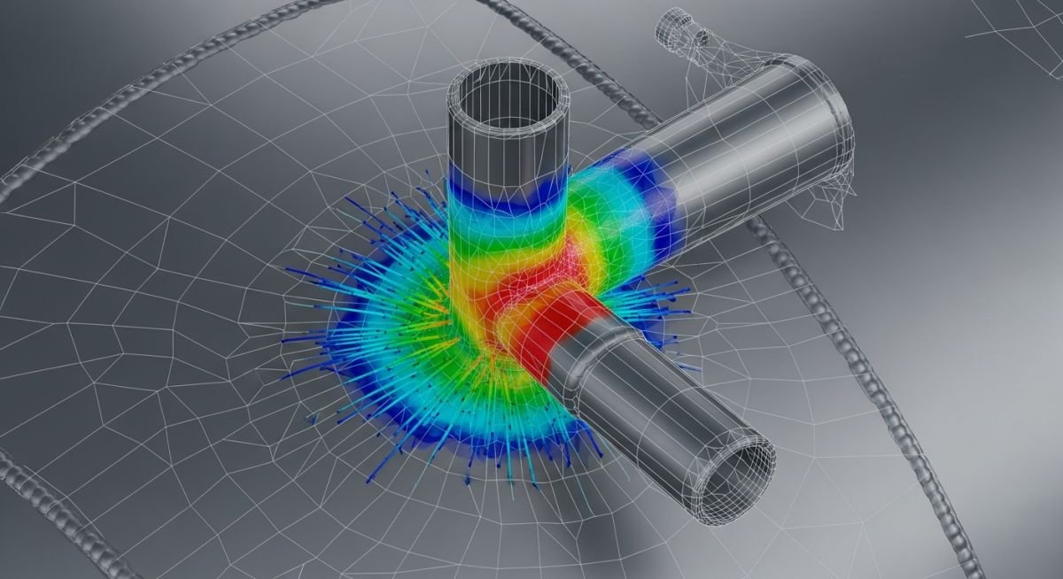
Learn to perform accurate WRC 107 and WRC 297 nozzle stress analysis in Caesar II. Optimize your piping design for ASME code compliance today.

Master the management of HOLD in Process Piping Engineering Deliverable sets to prevent project delays and ensure compliance with ASME B31.3 standards.
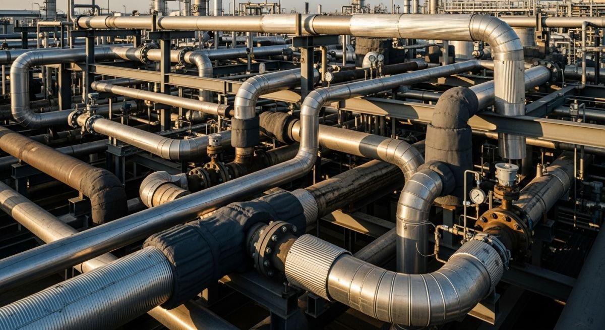
Master Pipe Selection Guidelines for industrial plants. Learn to evaluate pressure, temperature, and fluid compatibility using ASME B31.3 and B31.1 standards.
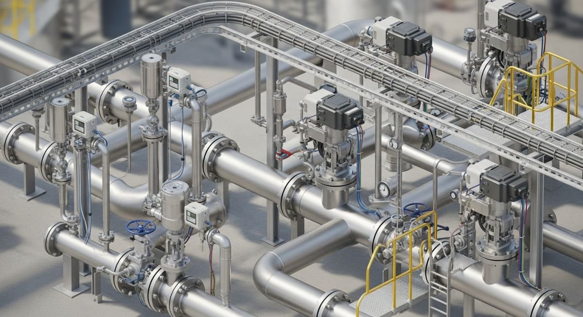
Optimize your plant layout with this guide on Piping and Instrument Interface. Learn integration strategies for ASME B31.3 and ISA 5.1 compliance today.
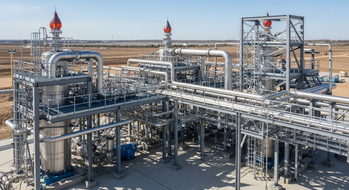
Master Flare Package Commissioning with our expert checklist. Ensure safety, code compliance, and operational readiness for your industrial flare system today.
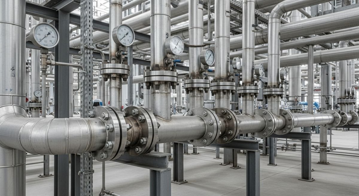
Master the application of ASME, API, and ASTM Piping Codes and Standards for industrial safety. Learn how to select the right code for your project.
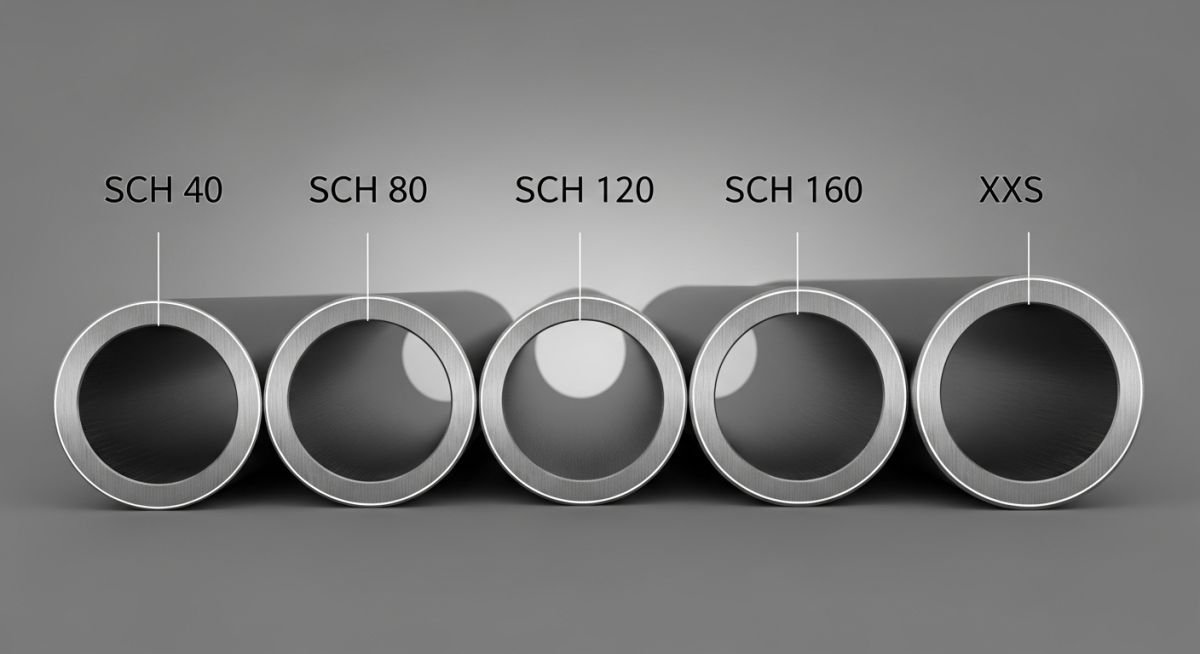
Master the meaning of Pipe Schedule. Learn how Pipe Schedule 40 and 80 dimensions impact pressure ratings and piping system integrity for industrial projects.
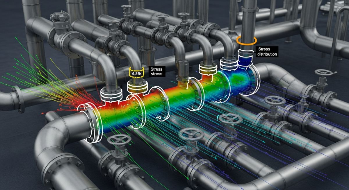
Master Flange Leakage Checking using the Pressure Equivalent Method in Caesar II. Ensure ASME B16.5 compliance with this expert piping stress analysis guide.