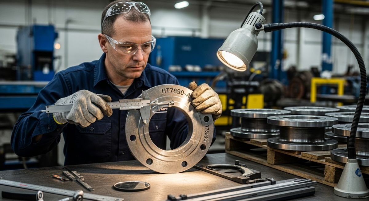
Master Piping Inspection and Marking standards. Learn essential protocols for material verification, color coding, and secure packing to ensure project compliance.
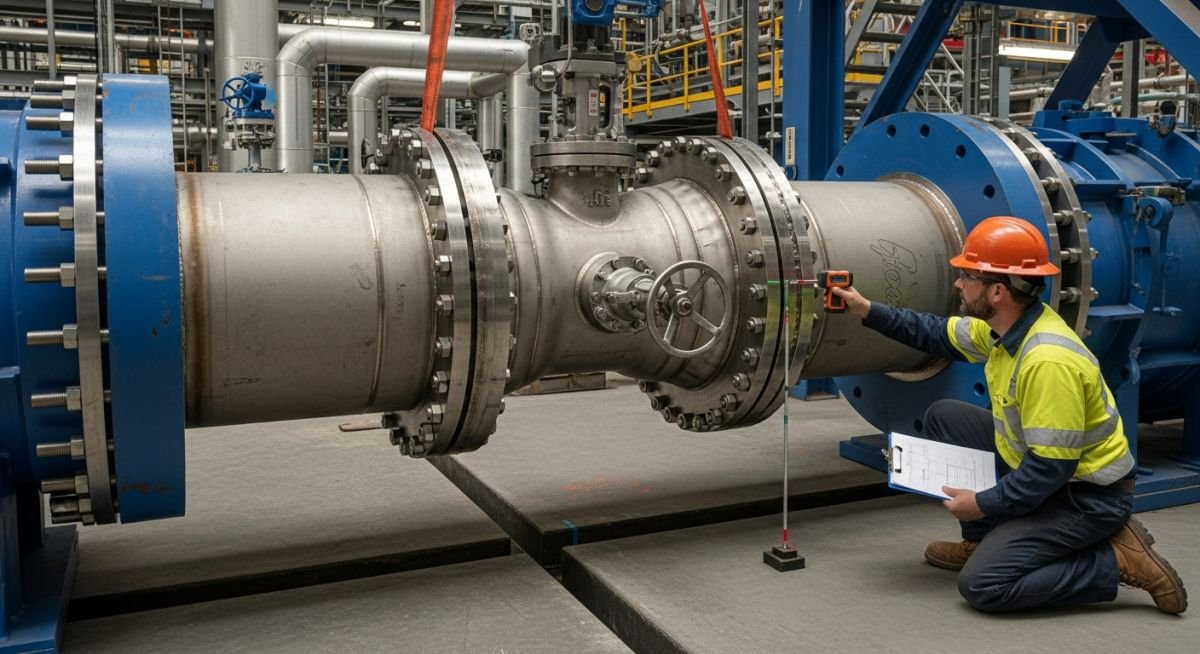
Master the application of Cold Pull in piping systems. Learn site installation techniques, stress reduction benefits, and critical drawbacks for your next project.
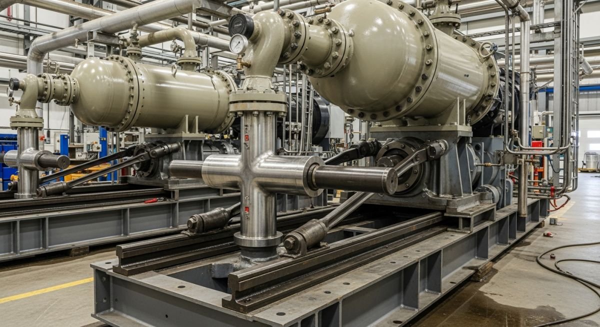
Master the technical differences between reciprocating and rotary compressors. Learn key selection criteria for industrial gas compression based on API 618 and 619.
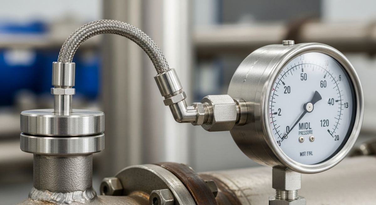
Master temperature measurement by Filled Thermal Systems. Learn calibration, capillary compensation, and ASME B40.200 standards for industrial process control.
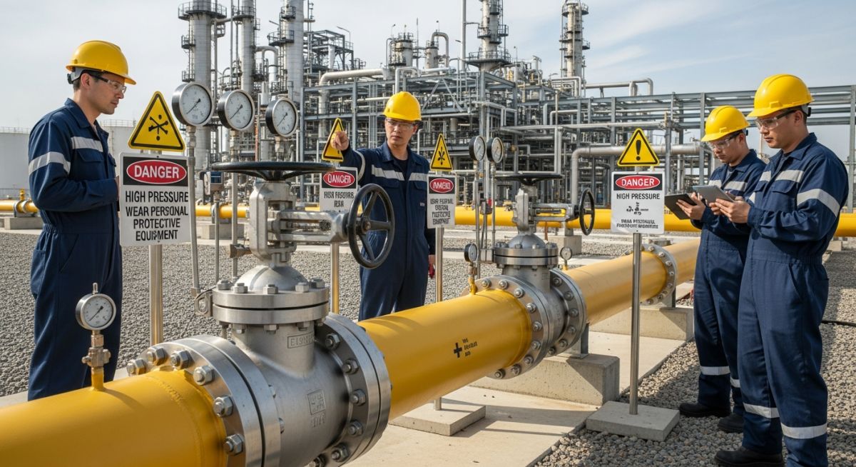
Master the technical phases of Pipeline Start-up and Commissioning. Learn critical safety protocols, pressure testing, and flow assurance for industrial systems.
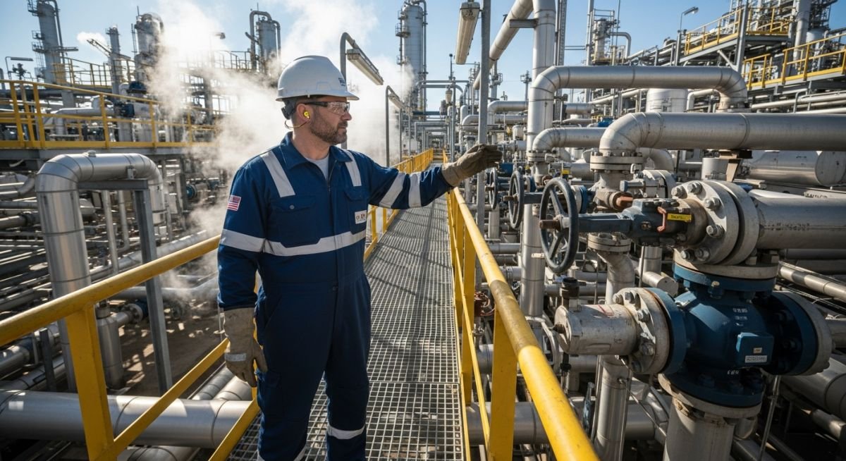
Master critical Site Visit Safety Rules for operating plants. Learn PPE requirements, hazard identification, and emergency protocols to ensure a safe site inspection.
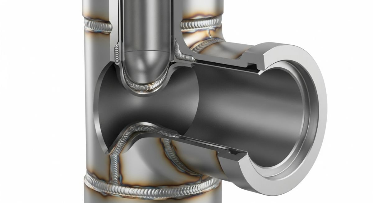
Master Tee Connections in Piping design. Learn dimensioning for equal and reducing tees per ASME B16.9 standards for your next industrial project.
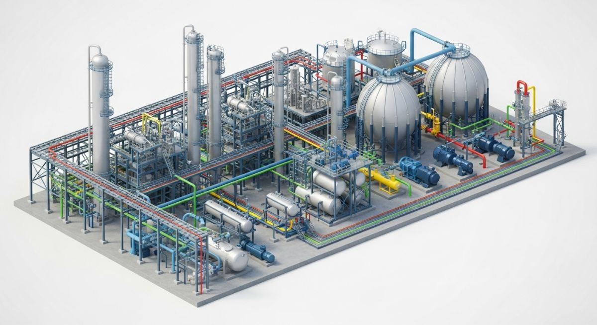
Master the Scope of Piping with this expert guide. Learn essential inputs and outputs for successful piping design projects and engineering workflows.
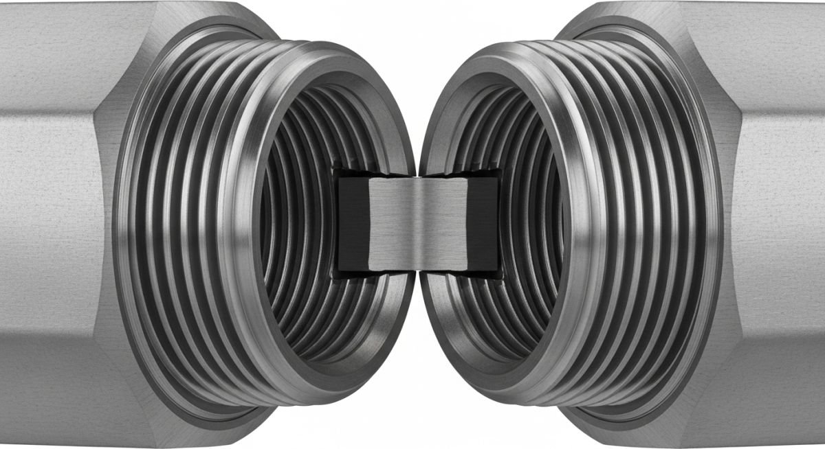
Master the selection of pipe coupling types for industrial systems. Learn about ASME B16.11 standards, pressure ratings, and installation best practices today.
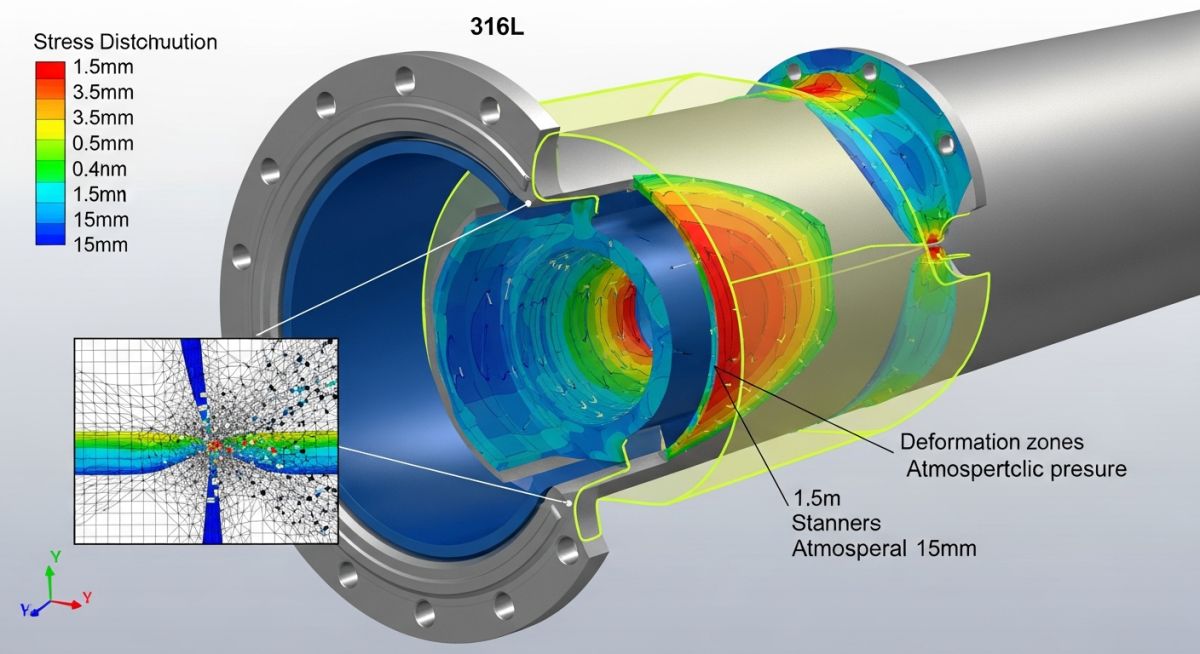
Master the buckling analysis of vacuum piping using ASME B31.3 standards. Learn to calculate external pressure limits and prevent catastrophic structural collapse.
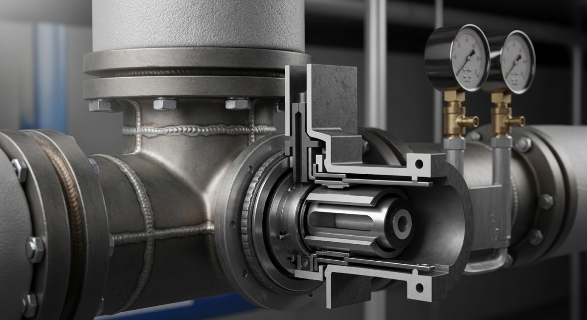
Master Steam Trap selection with this guide on types, ASME/API standards, and performance metrics. Optimize your plant efficiency and reduce condensate losses.
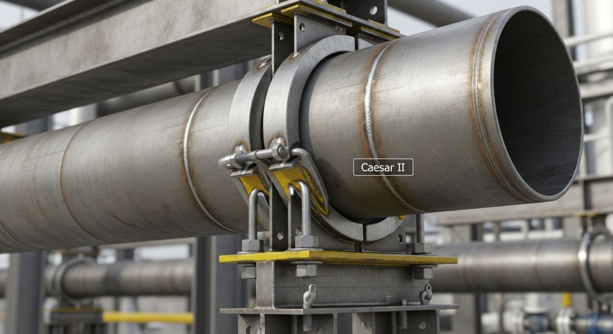
Master the modeling of Sway Braces in Caesar II for piping stress analysis. Learn to define stiffness, thermal expansion, and code-compliant support configurations.