Master the selection of Topographical Survey Instruments. Compare Total Stations, GNSS, and LiDAR to optimize your site data accuracy and project efficiency.
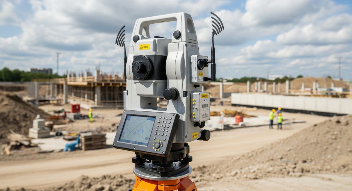
Master the selection of Topographical Survey Instruments. Compare Total Stations, GNSS, and LiDAR to optimize your site data accuracy and project efficiency.
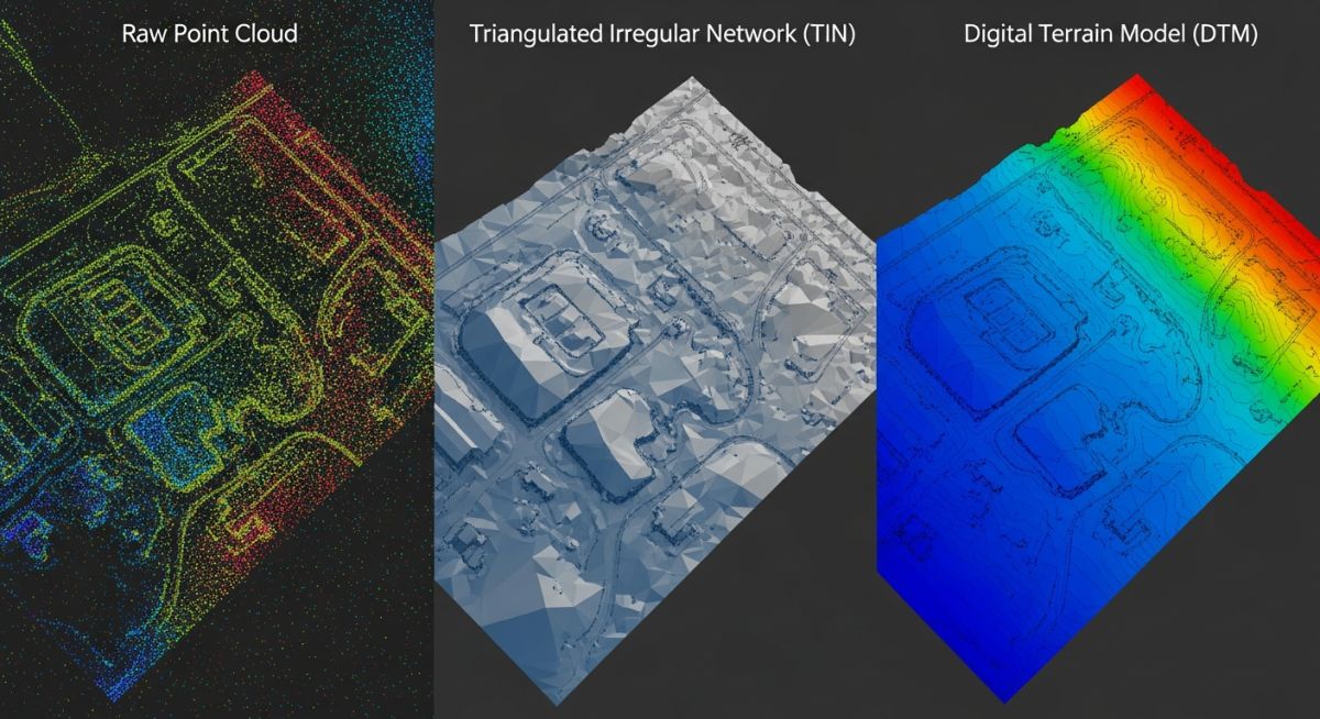
Master DTM, DEM and TIN surface models for accurate site grading. Learn key differences, data structures, and engineering applications for your next project.