Master Cut and Fill Quantities for civil projects. Learn how to optimize earthwork volumes, reduce site costs, and manage environmental impacts effectively.
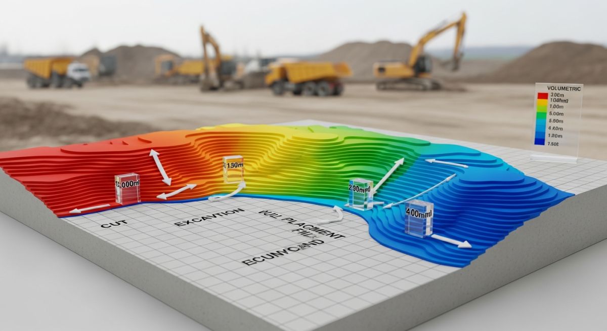
Master Cut and Fill Quantities for civil projects. Learn how to optimize earthwork volumes, reduce site costs, and manage environmental impacts effectively.
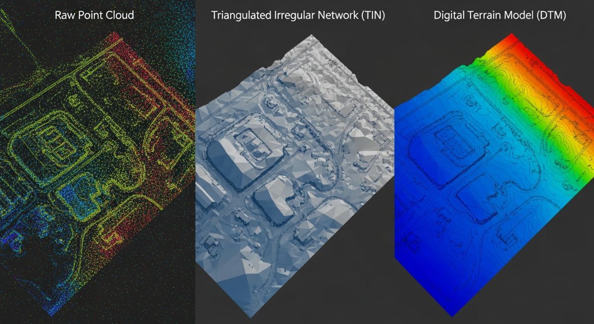
Master DTM, DEM and TIN surface models for accurate site grading. Learn key differences, data structures, and engineering applications for your next project.