Master earthwork efficiency using Civil 3D and GIS. Learn to balance cut and fill volumes, minimize haulage costs, and refine site grading designs.
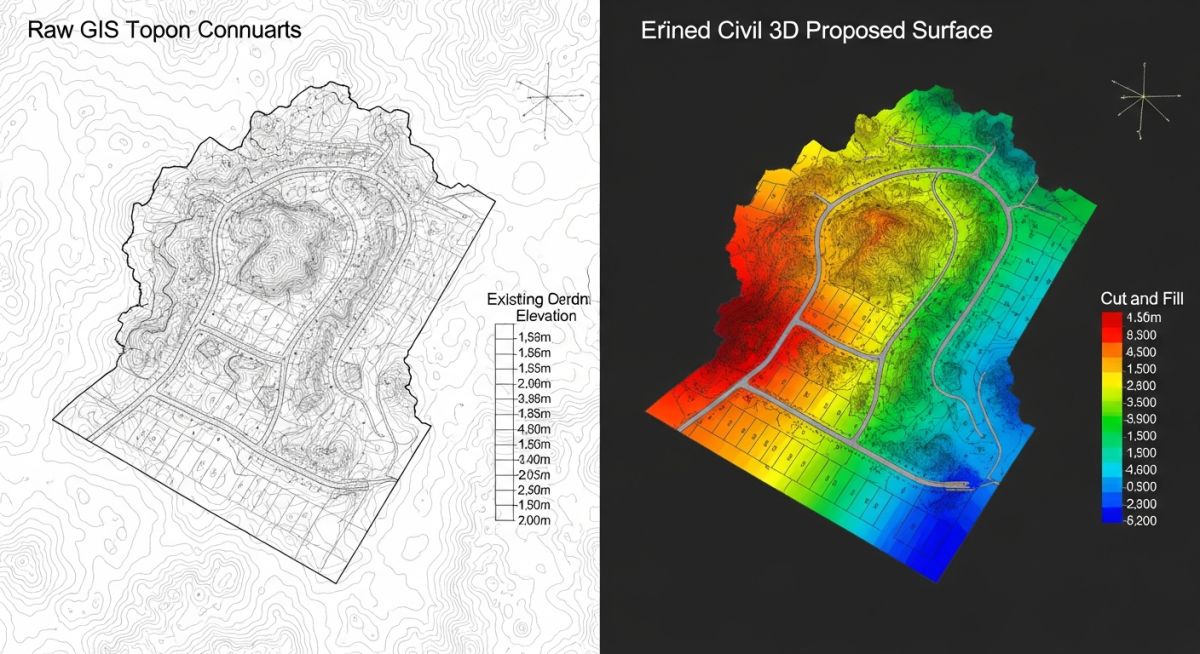
Master earthwork efficiency using Civil 3D and GIS. Learn to balance cut and fill volumes, minimize haulage costs, and refine site grading designs.
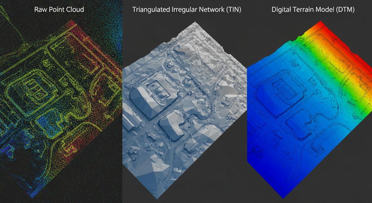
Master DTM, DEM and TIN surface models for accurate site grading. Learn key differences, data structures, and engineering applications for your next project.
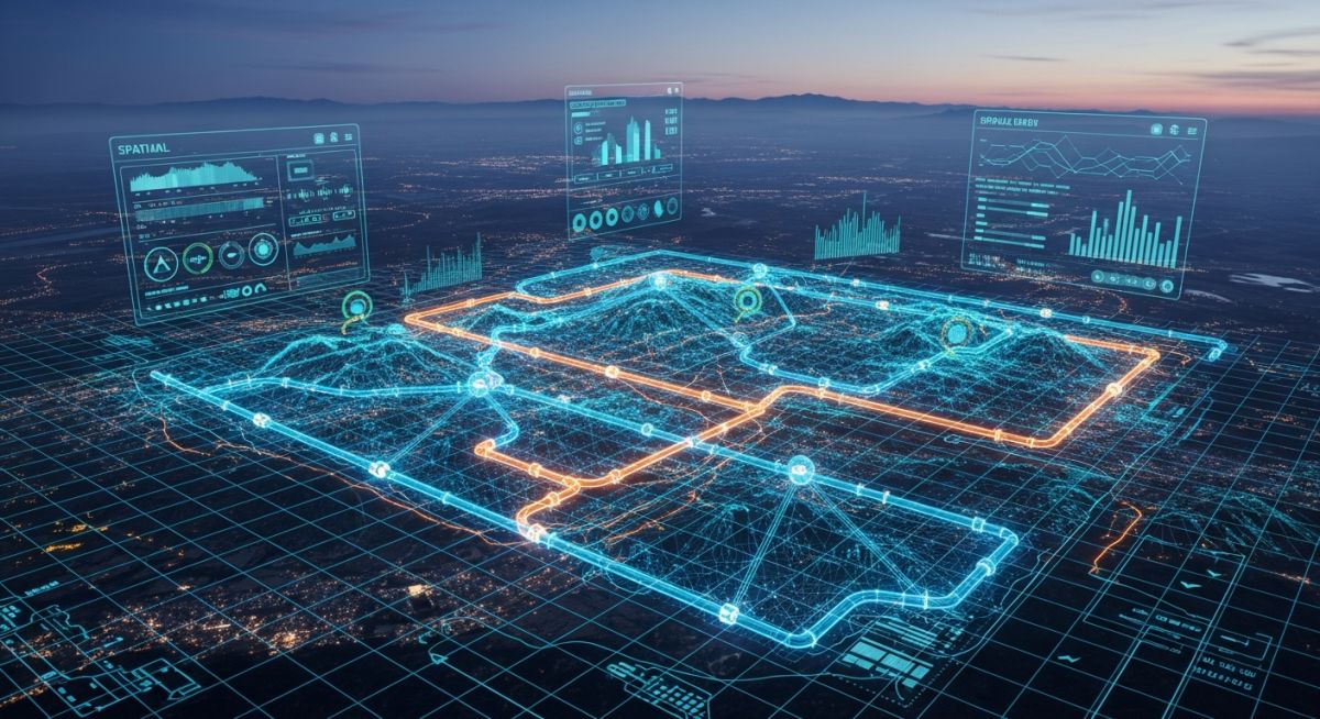
Discover how Geographic Information Systems (GIS) revolutionize asset tracking, mapping, and safety in the petroleum and pipeline industries.