Master the selection of Topographical Survey Instruments. Compare Total Stations, GNSS, and LiDAR to optimize your site data accuracy and project efficiency.
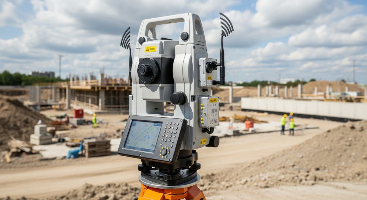
Master the selection of Topographical Survey Instruments. Compare Total Stations, GNSS, and LiDAR to optimize your site data accuracy and project efficiency.
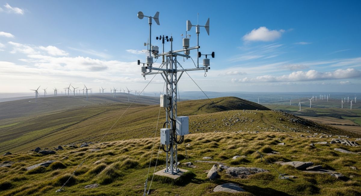
Master Wind Resource Assessment for wind power projects. Learn measurement techniques, LiDAR integration, and energy yield estimation for bankable site development.

Master 3D Point Cloud technology. Explore LiDAR generation, industrial photogrammetry, and 2026 applications in BIM, digital twins, and brownfield engineering.