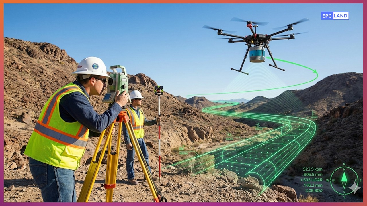
Master the Pipeline Route Survey process. From LiDAR to Geotechnical investigations, learn how to optimize the Right of Way (RoW) for 2026 projects.
Master the Pipeline Route Survey process. From LiDAR to Geotechnical investigations, learn how to optimize the Right of Way (RoW) for 2026 projects.