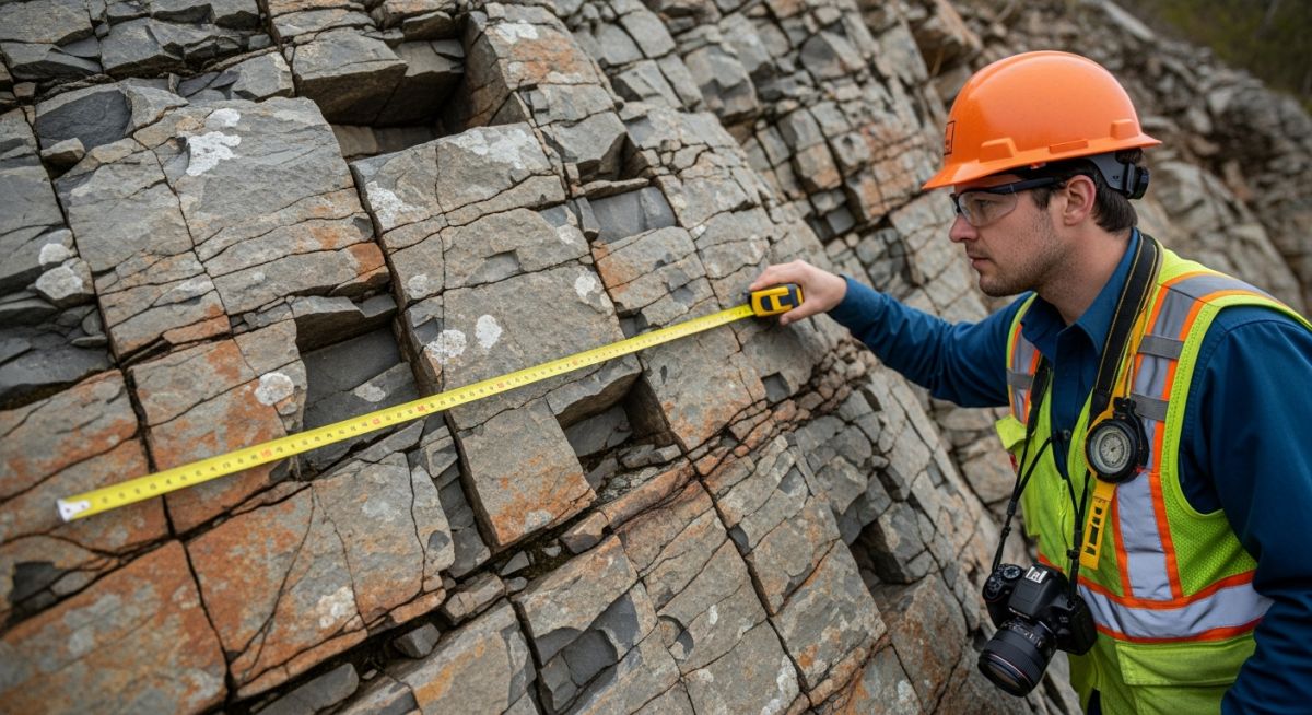
Master Rock Classification Systems for geotechnical design. Learn RQD, RMR, and Q-System applications to ensure structural stability in your next rock engineering project.
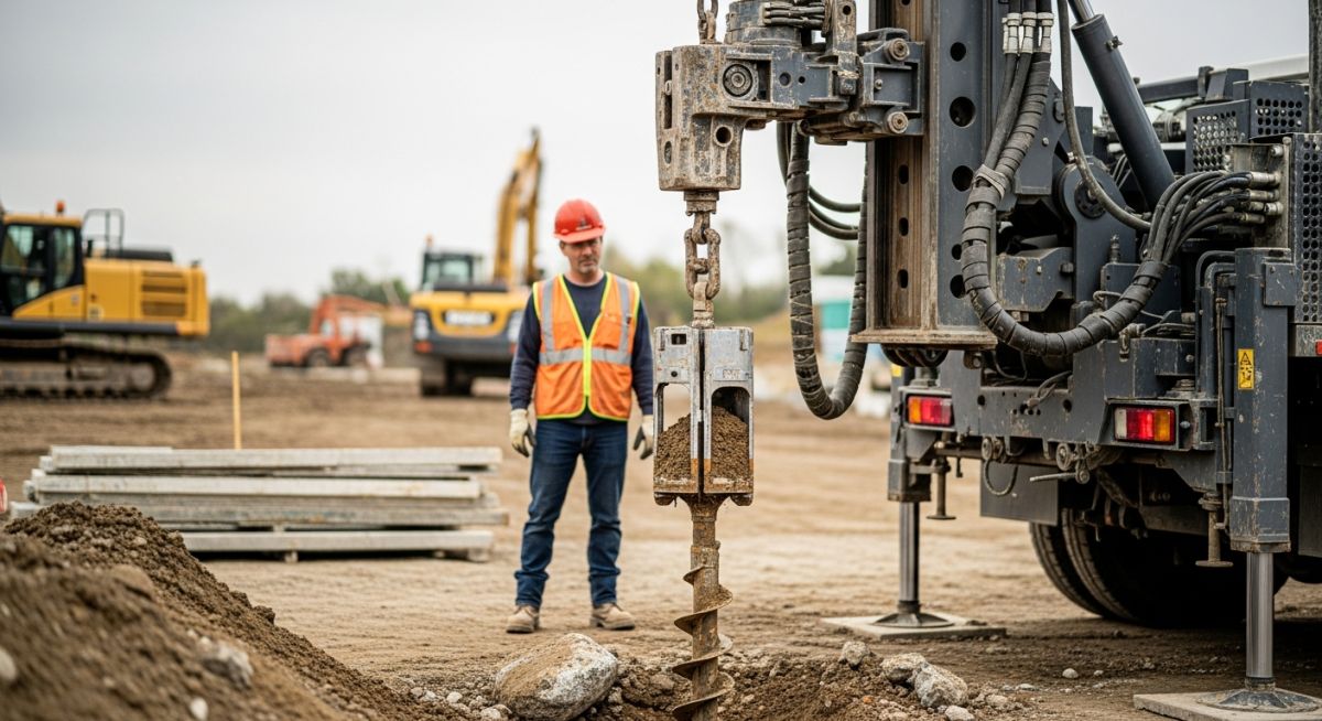
Master how to Interpret SPT N-Values for soil strength analysis. Learn to apply correction factors and avoid common errors in your next foundation design project.
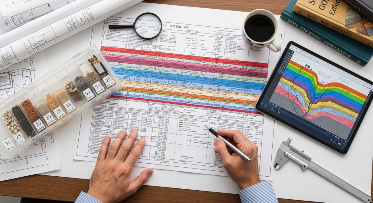
Master the interpretation of Borehole Logs with this guide. Learn to analyze soil, rock, and groundwater data to ensure structural integrity in your projects.
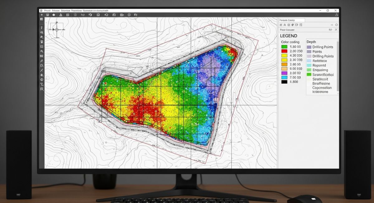
Master the selection of Borehole Quantity and Location for geotechnical projects. Learn to balance site variability, project type, and international standards.

Master the art of reading Geotechnical Investigation Reports. Learn to analyze borehole logs, soil parameters, and foundation recommendations for safe site design.

Learn to interpret Topographical Survey Reports for accurate piping design. Master spot levels, surface models, and utility mapping to avoid costly site rework.
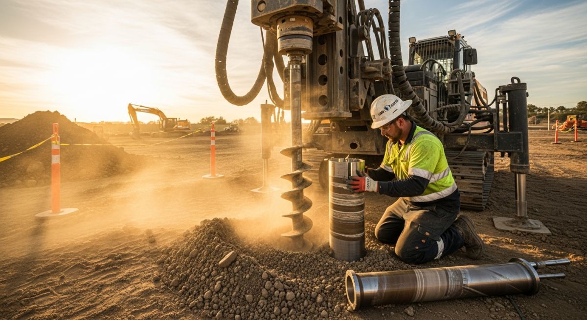
Master critical Geotechnical Investigation Terminology including SPT N-values, RQD, and bearing capacity to ensure safe, code-compliant structural foundation design.
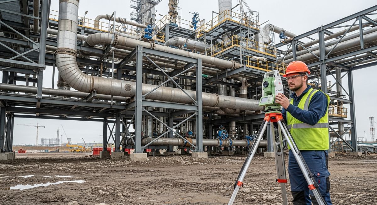
Master critical Topographical Surveys terminology including RL, Benchmarks, and DTMs. Improve your site layout accuracy with this expert engineering guide.
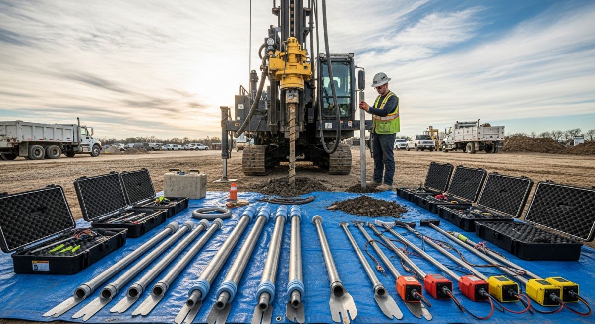
Master the essential survey instruments used in Geotechnical Investigations. Learn about SPT, CPT, and geophysical tools to ensure accurate site characterization.
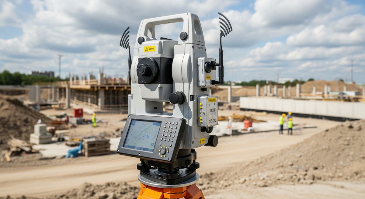
Master the selection of Topographical Survey Instruments. Compare Total Stations, GNSS, and LiDAR to optimize your site data accuracy and project efficiency.
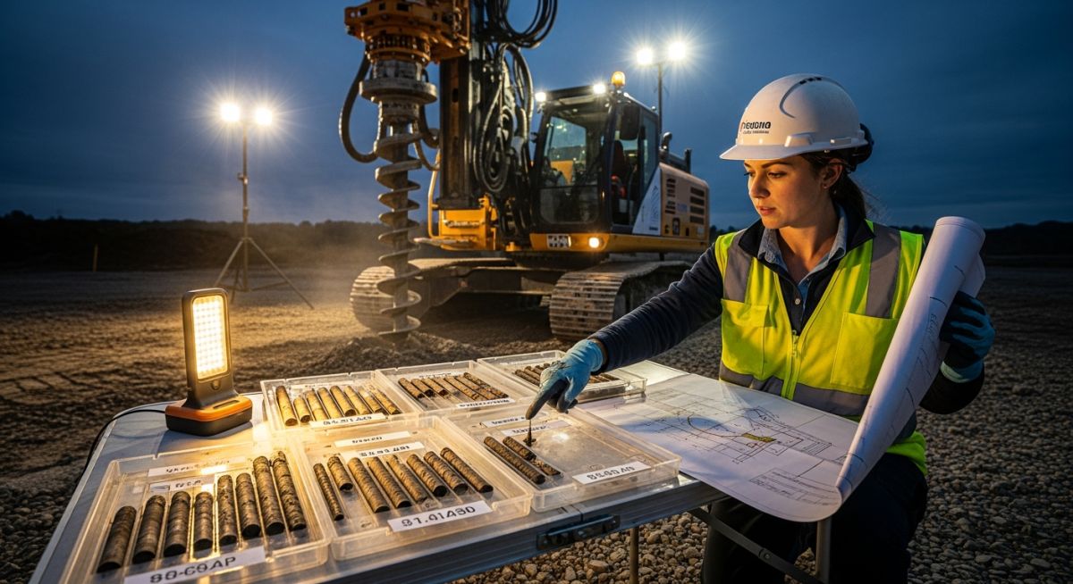
Master the art of writing an RFP for Geotechnical Investigations. Learn to define borehole, lab, and reporting requirements to ensure project success.
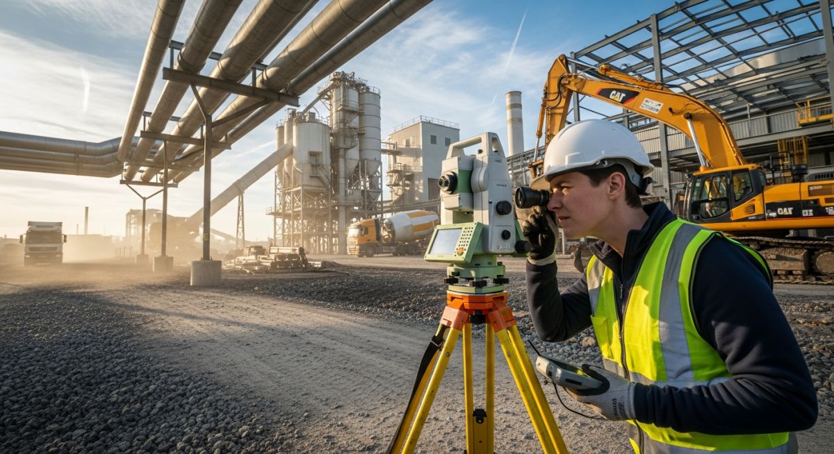
Master the RFP for Topographical Surveys with this expert guide. Learn to define scope, accuracy, and deliverables to ensure project success and cost control.